 |
| 4.A Sign for the Ahuriri Roundabout, Dubbed 'The Turtle' by Jean |
A friend recently asked for a perspective on New Zealand's railways. In 2013 I published a post discussing New Zealand's rail passenger transport and recently I published a post discussing the country's maritime ports. I'll take the liberty here of providing a perspective less close to the ground, at least less close than those preceding posts. I'd like to take a more expansive look at New Zealand's transport infrastructure. The railways are only one piece of the transportation puzzle and transportation is but a piece of a larger picture that embraces New Zealand's culture, population, and economy.
Who fifty years ago would have imagined New Zealand to become what it has become now? It's an agricultural powerhouse, moreover one whose power isn't dependent on any role it plays within the British Commonwealth. Its leading trade partner is no longer the United Kingdom but rather China, with Australia in close second place. Its people now comprise not only the core Māori and Europeans who formed the nation in 1840 but also substantial numbers of recent immigrants: Indians, Pakistani, Chinese, Southeast Asians, and peoples from the South Pacific islands.
The cross-strait ferry services between the North Island and South Island first began only a little over fifty years ago (in 1962), between Wellington and Picton. Before 1962 ferries connecting North and South operated between Wellington and Lyttleton (Christchurch's port town). By the mid 1970s the Wellington/Lyttleton services had disappeared and the Wellington/Picton ferry service had become the vital link that supports the nation's railway and highway network.
In the last fifty years New Zealand's intercity rail passenger services have largely disappeared. On the other hand, in just the last ten years metropolitan rail passenger service has blossomed in Auckland and continues in Wellington, growing fivefold in New Zealand's prime city. Commercial aviation has become the predominant form of domestic commercial passenger transport with bus lines offering excellent cross-country and tour services. Auckland Airport has become the country's major international passenger port. And totally unforeseen fifty years ago, Tauranga has become New Zealand's premier international maritime port (See Blogpost 15.01).
Today according to the Road Transport Forum website around 92% of all freight within New Zealand is conveyed at some point by road, albeit perhaps about 20% of freight ton kilometers are accounted for by rail (according to Transportation Engineering Research New Zealand). Highway freight transport is overwhelmingly predominant in New Zealand in a way it wasn't, say, fifty-some years ago. In the USA, in contrast, rail ton miles (as reported by various parties) constitute a significantly higher portion of freight transport (usually around 38%) than in New Zealand; by all reports the rail portion of US freight ton miles is growing.
Despite the importance of highways in New Zealand, only about 2% of the state highway network (the country's main trunk highways) comprises limited-access multi-lane highways. Moreover, the state highway network has numerous narrow bridges, one-way bridges, even one-way tunnels, and so on and so forth. Highways and roads off the state network are plagued with narrow lanes, narrow shoulders, one-way bridges, sharp curves, etc. The most cursory glance at a New Zealand highway map will hint at the sinuosity of the vast majority of New Zealand's highways. Given the importance of roads in New Zealand's transportation universe, why is there such a 'deficiency of roadway capacity', if I may put it that way?
I think the answer has two parts: topography and wealth. And to get at those parts, I'll briefly compare New Zealand with the US state of Colorado. New Zealand (268,000 sq km) and Colorado (269,800 sq km) have about the same amount of territory. In 2014 the estimated population of New Zealand was 4.5 million and of Colorado 5.4 million. All other things being equal here, population size differences can serve as a surrogate for differences in overall wealth (I don't have comparable gross domestic product data for New Zealand and Colorado). Colorado by population count is wealthier. Moreover, Colorado isn't as mountainous as New Zealand. The eastern half of Colorado is high plain. But there are few large relatively level areas in New Zealand: the Waikato in the North Island and the Canterbury and the Mackenzie in the South Island. Moreover, though I can't prove this (I couldn't obtain comparable data), I suspect the public roadway (highway, road, and street) kilometers or miles in New Zealand exceed Colorado's public roadway miles. New Zealand has numerous, dispersed (if often tiny) settlements connected by public roadways. In short New Zealand has relatively more topographical challenges to its roadway network and probably more 'service points', if you will, but less wealth to overcome those challenges.
All things considered, I find it remarkable that New Zealand's highways are as good as they are. As I've said in other posts, generally foreign visitors (especially those not accustomed to left-hand driving) would be well advised to use commercial transport (air, bus, or rail) for cross-country travel in New Zealand, rather than to undertake the arduous task of driving cross country.
Looking into the future I'll venture the following speculations vis-à-vis transportation. Please indulge this hobby of mine; among other things these speculations are a way of attaining some perspective on current conditions.
As for airway travel in New Zealand...
- Domestic commercial air travel (within 5 years) is likely to be saddled with the security procedures that bedevil air travelers in much of the rest of the world. Sic transit gloria, I say with a sigh.
- Wellington Airport will solidify its role as a domestic air hub thru incremental improvements on its constrained site but also by extending its runway (within twenty-five years), thereby enabling more international flights.
- Auckland Airport will maintain its predominance, enhancing its facilities and improving ground access by enabling construction of a railway extension into the airport (within twenty-five years).
As for highway travel & transport in New Zealand...
- A limited access highway will connect Auckland and Wellington (within twenty-five years) with a spur to Tauranga (within thirty-five years) and perhaps another spur to Rotorua (within fifty years).
- Intermittent limited access highways will exist on State Route 1 on the South Island between Picton and Dunedin (within fifty years).
- A second, tunnel crossing of Waitemata Harbour (in Auckland) will be constructed (within fifty years).
As for maritime transport within twenty-five years...
- Tauranga will overtake Auckland as the prime import port and will maintain its role as New Zealand's prime export port.
- Marsden Point, now supported by Northland Region interests as an alternative international container port to Auckland, is unlikely to materialize because of its far north location, its inability to offer outbound container traffic (to balance inbound loads), and the inability to complete a rail line connecting Marsden Point*** with the national rail network (not to enumerate other shortcomings).
- Major international container services will restrict their calls to no more than three New Zealand ports (Tauranga, Lyttleton [Christchurch], and Napier) with other container ports having subsidiary roles.
As for railway transport within twenty-five years...
- Palmerston North and Hamilton will become inland container hubs (or ports) and even seaside cities, like Auckland and Dunedin, will become container hubs on the freight rail network.
- There will be so-called 'shortline' freight operators, independent of KiwiRail (or its successor), operating lines that otherwise would be abandoned. The Napier-to-Gisborne line comes to mind*/**.
- Intercity passenger services, if they exist at all, will be run by tour operators (For an account of KiwiRail passenger services circa 2013, see Blogpost 13.23).
- Metropolitan (or commuter) rail service will expand in Auckland, including the completion of the Auckland City Rail Link (See here), construction of an airport extension, and extension of service to Hamilton if the North Island Main Trunk ('NIMT') railway is electrified between Hamilton (Te Rapa) and metro Auckland (Papakura).
As for the Cook Strait Crossing...I can't help but wonder what, if anything, will be done to 'solidify' the transport connection between the North Island and the South Island. The Cook Strait, which separates the islands, is reportedly one of the most treacherous bodies of water anywhere in the world. Were there, say, 80 million Kiwis or had New Zealand somehow 'struck gold' big time, probably a tunnel would have already been built, rendering ferry crossings unnecessary. The three-hour ferry journey can take as long as eight hours and is subject to multiple hazards. A rail tunnel built to accommodate standard gauge trains (and KiwiRail's Cape gauge trains) would, for example, enable roll-on, roll-off truck, bus, and auto services that would be unaffected by weather or tidal conditions. But building a tunnel would be quite costly, no easy task in a fault-riddled region, though the Japanese especially have a world of knowledge to bring to this kind of project. I wouldn't hazard a guess as to whether any tunnel (rail or highway) will ever be built under the Cook Strait. Because of Cook Strait winds, a bridge would be insane. But so long as there isn't a tunnel, it will always be a solution waiting for the funding to happen. Anyone out there with pots of gold?
Perhaps these prognostications have been a bit too breezy. I'm not a Kiwi, so I don't have to live with the social consequences of any slights or oversights that I've committed. Nor have I spent years studying the matters that I've touched on. I've not undergirded my prognostications with extended argument and tables and charts. In a word, my free prognostications may be worthless. I offer them nonetheless.
You can be sure there are Kiwis in government, in the business community, in the broader community, and not least in transportation, who are concerned with how New Zealand's transport infrastructure will look in, say, twenty-five or fifty years. We can also be sure that the future will be different in ways that even the best prognostications don't anticipate.
Warm regards,
Tim (& Jean)
P.S. (7 February 2015) Within a few days of publishing the above post I was asked to submit an op ed piece to Urban Milwaukee, which published the piece on 5 February under the title 'A Tale of Two Cities'. It compares and contrasts urban transport policy in metro Auckland and metro Milwaukee, especially in light of proposals in both cities for the installation of tram or streetcar service.
* As of 22 August 2016, Hawke's Bay Today reported that a decision was imminent on re-opening Napier to Wairoa service, perhaps a prelude to rehabilitating the Napier-Gisborne line. Later in 2016 the Napier-Gisborne Railway was incorporated and a so-called 'Napier-Gisborne Railway Shortline Establishment Group' launched a website.
**As of 12 July 2017, The New Zealand Herald reported that the Maori Party is advocating the redevelopment of New Zealand's regional railway network and specifically advocating the restoration of rail freight service (and perhaps eventually passenger service) on the Napier-Gisborne line.
***A 20 May 2019 report in interest.co.nz portrays the continuing discussion about the estimated costs and benefits of a railway upgrade and extension into Northport (or Marsden Point). The overall picture doesn't include a 'green light' for that extension.
 |
| 4.B Traffic on State Route 3 in Te Awamutu |
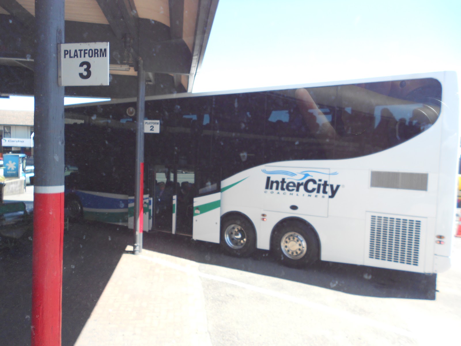 |
| 4.C InterCity Bus at the Taupo Bus Terminal |
 |
| 4.D An A F Logistics Double Rig Caught at a Taumarunui Underpass |
 |
| 4.E Back of a Fonterra Double Tanker Milk Truck |
 |
| 4.F Links between First & Second Tankers of a Fonterra Double Tanker |
 |
| 4.G A Fonterra Double Tanker Ready to Get Underway at Te Awamutu |
 |
| 4.H Boxes (Containers) on a Train in Dunedin |
 |
| 4.I Under the Wire on the NIMT at Te Awamutu |
 |
| 4.J Under the Auckland Harbour Bridge (Which Crosses Waitemata Harbour) |
Time-Lapse Video Portrait of Traffic on the Auckland Harbour Bridge
 |
| 4.K Boxes (Containers) in the Ahuriri Rail Yard Awaiting Conveyance to an Outbound Ship |
 |
| 4.L 'Boxworld' at Napier Port |
 |
| 4.M Ship Leaving Napier Port |


4.N Vehicles Negotiating Traffic-Calming Choke Points on West Quay, Ahuriri, Napier
 |
| 4.O View of Ahuriri Harbour Looking North with West Quay on the Right |
 |
| 4.P Bow of Atlantic Dawn at West Quay in Ahuriri Harbour |
No comments:
Post a Comment